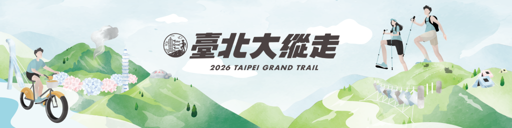
Introduction to the Taipei Grand Trail
Since 2018, the Taipei City Government has been promoting the Taipei Grand Trail, a premier urban long-distance hiking route. Originally spanning 92 kilometers and divided into seven sections, each segment is designed for convenient single-day round trips. The trail begins at MRT Guandu Station in the north and extends to Maokong behind National Chengchi University in the south.
About one-third of the trail winds through Yangmianishan National Park, connecting Taipei’s major peaks and scenic landmarks. Highlights along the route include:
The volcanic landscapes of Mt. Datun.
Mt. Qixing, Taipei’s highest peak at 1,120 meters.
The calla lily and hydrangea fields of Zhuzihu.
The hand-built Shuangxigou Trail.
Bishancun Campground and strawberry picking in Baishihu.
Watching planes at The Old Place (Lao Difang) in Yuanshan.
Tea tasting in Maokong.
The "Million Dollar" night view of Taipei 101 from the Four Beasts Mountains.
The Taipei Grand Trail integrates scattered tourism resources into a single experience that combines health and leisure, industrial vitality, personal challenge, and self-confidence—achieving the vision of "hike in the mountains, then shop and dine in the city."
In 2021, the trail expanded beyond its 92km mountain paths by integrating riverside cycling paths (from MRT Taipei Zoo Station to MRT Guandu Station). This created a 130-kilometer loop combining the mountain trails and riverside , allowing hikers and cyclists to circle the entire city of Taipei. Furthermore, the trail is easily accessible via MRT, buses, YouBike, and the Maokong Gondola. This accessibility acts as a "Anywhere Door to Health," allowing you to start your journey into nature whenever you choose.
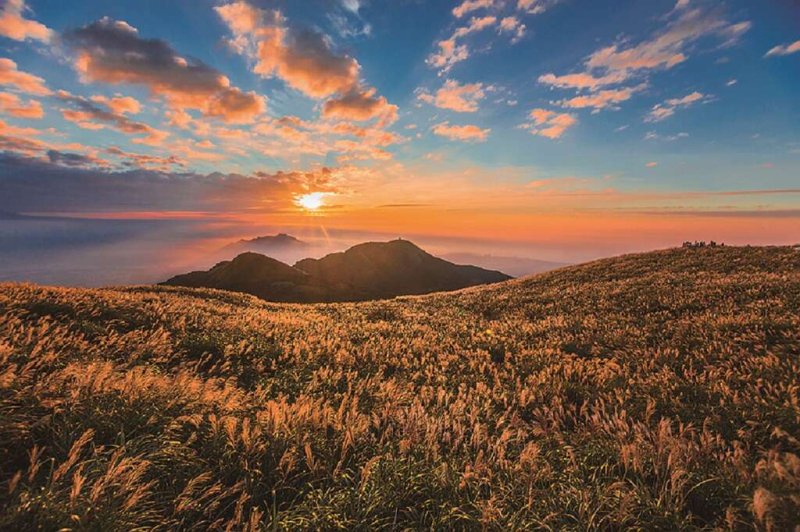 Gold Medal, Taipei Grand Trail Photography Contest — Mt. Datun Main Peak