-
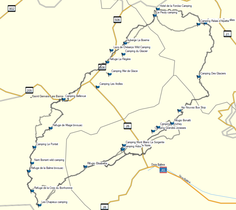
相關路線TMB
本文為網友的心得,以下內容不代表健行筆記立場。

| Distance (km) | Elevation Gain (m) | Elevation Loss (m) | Notice |
|---|---|---|---|
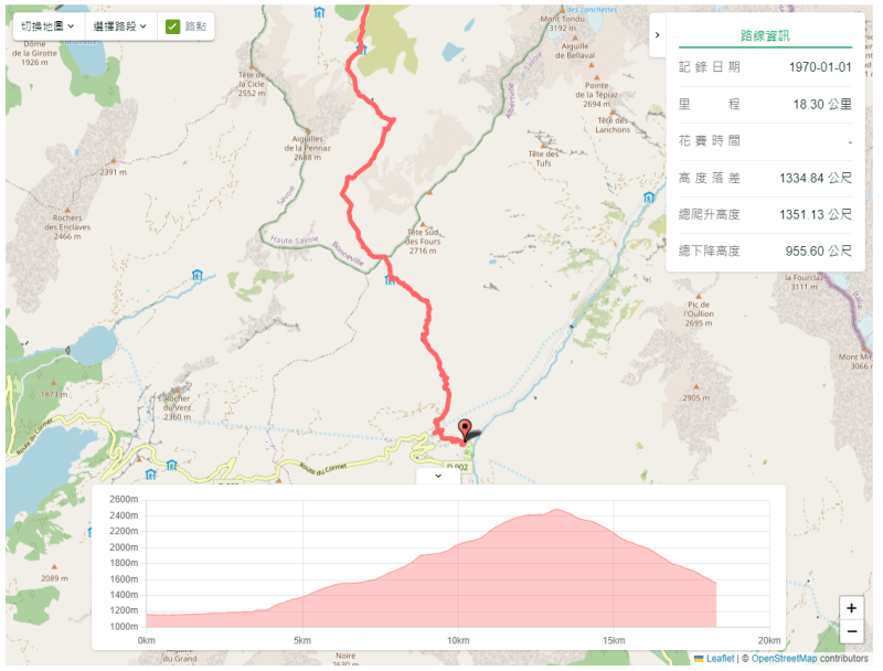
| 11.15 | 803 | 952 | "Buying bus tickets the night before from the Tourist Office (Wait at this bus stop 30 minutes early) Auberge de la Nova serves meals and drinks (order dinner in advance)" |
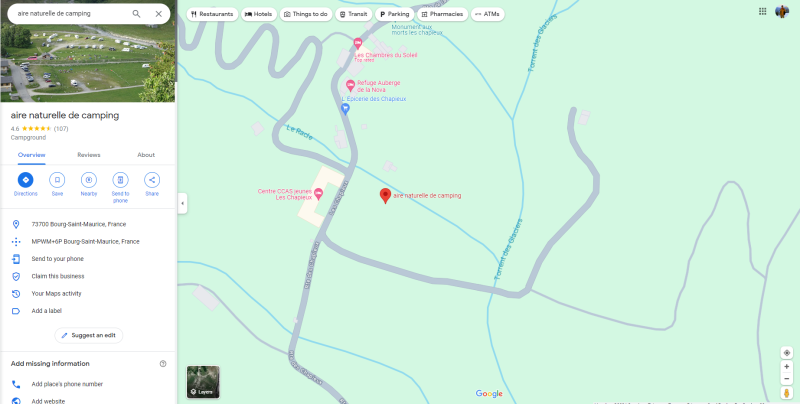
| Name | Aire naturelle de camping (73700 Bourg-Saint-Maurice, France) |
|---|---|
| Cost (Euro/Person) | |
| Near Site | There is a small shop across the road from the campsite that sells delicious local cheeses, snacks, and hiker basics like instant noodles, trail mix, and some toiletries. Additionally, the Auberge de la Nova, just down the road from your campsite, is a nice option for drinks, snacks, or dinner. |
| Description | The tourist office, located in the center of the camping area, has bathrooms with sinks (cold water, potable) and toilets. |
| Booked | https://maps.app.goo.gl/THNqiCUP2SB5kmFt5 |
TMB Stage 2 Les Contamines Bonhomme Les Chapieux
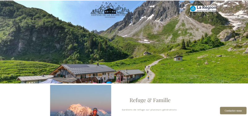
- Refuge de la Balme 1706
- Col de Bonhomme 2329
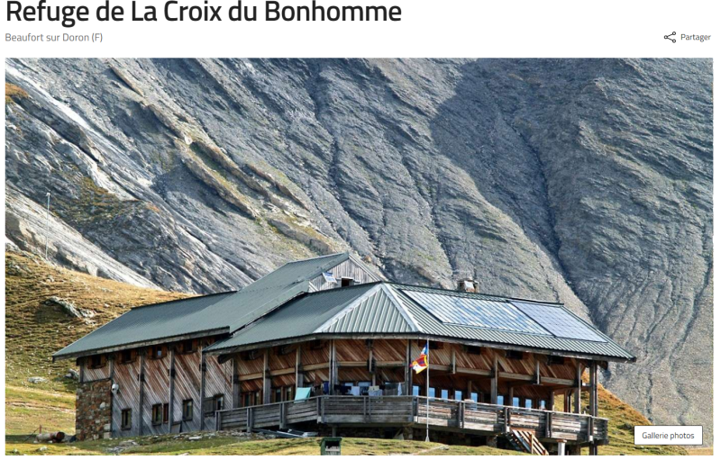
- Refuge du Col de la Croix du Bonhomme 2443
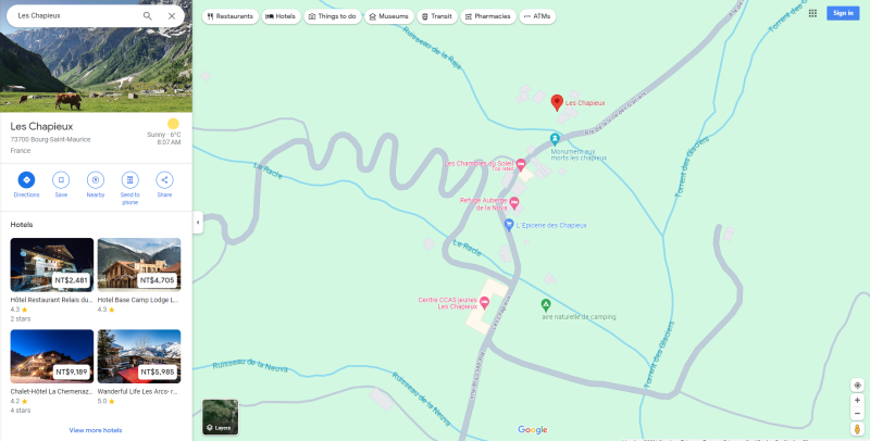
- Les Chapieux 1558
走主線
|
走支線
|
