-
相關路線
-
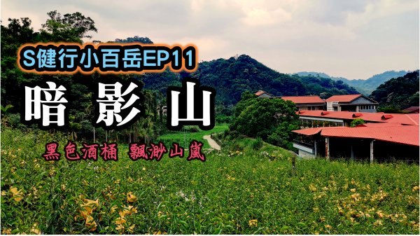
相關山岳暗影山
歡迎點選我們影片連結,更加精采!!
https://youtu.be/-BOQe7JSED4
請點選下方連結按讚訂閱分享 讓我們繼續帶著大家S健行去!!
https://bit.ly/2TCDlNJ
暗影山簡介Brief Introduction of Anying mountain
暗影山位於台中市太平區東側,由於陽光照射角度關係,觀看時山稜時多為暗黑深邃的形勢,當地人稱為黑山,也就是暗影山,海拔高度997公尺
Anying mountain is at the east side of Taiping DistrictDuo to sun lighting angle. The mountain looks like dark and deepSo it had been called Dark Mt.The current official elevation is 997 meters.
路線簡介Brief Introduction of Route
暗影山步道往返2.5小時,往返距離9公里,高度落差331公尺
It takes 2.5 hours to go and forth for 9 kilometer by Anying mountain Trail hiking route. The difference of elevation is 331 meters
行者行程
15點00分--新社中和國小出發點
15點30分--雲閒居指示牌
15點45分--桃李河畔指示牌
16點00分--觀慧寺指示牌
16點15分--海拔910公尺登山口
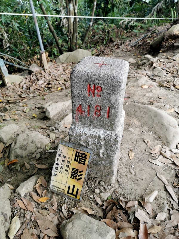
16點30分--暗影山三角點
17點30分--新社中和國小
Walker Hiking
15:00P.M--Xinshe Zhonghe elementary school starting point
15:30P.M--Yun Xianju Sign
15:45P.M--TaoLiHePan Sign
16:00P.M--The Elevation 910 Trailhead
16:15P.M--Anying Mt.triangulation
16:30P.M--Xinshe Zhonghe elementary school starting point
開車大眾運輸方式及路線請點選健行筆記
https://hiking.biji.co/index.php?q=trail&act=detail&id=556
大家好
歡迎來到周更中的S行者
這次帶大家來到暗影山
暗影山位於台中市太平區東側
由於陽光照射角度關係
觀看時山稜時多為暗黑深邃的形勢
當地人稱為黑山,也就是暗影山
另外因山勢像極酒桶
又名酒桶山
<英譯>
Hello, everyone!
Welcome to S-hiker Channel weekly update
Let's show you Anying mountain
Anying mountain is at the east side of Taiping District
Duo to sun lighting angle
The mountain looks like dark and deep
So it had been called Dark Mt.
In addition,it had been called Barrel
duo to it's shape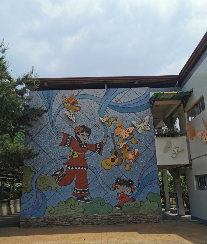
記得幾年前曾與老婆大人
前往酒桶山法蝶餐廳用餐
除了美食外,更驚豔於美麗風景
暗影山除了是太平區最高的山岳
更是全台灣海拔1000公尺以下
有三角點的第一高峰,標高997公尺
就讓行者帶著大家開始健行吧!
<英譯>
I still remembered to have dinner
in La fatte Restaurant of Barrel Mt.
Besides food,we were surprised by beautiful scene
Dark Mt.is the highest mountain in Taiping
Its elevation is 997 meters
the highest mountain with triangulation under 1000 meters
Let's start hiking
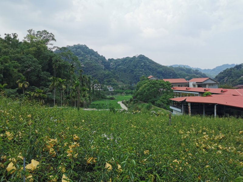
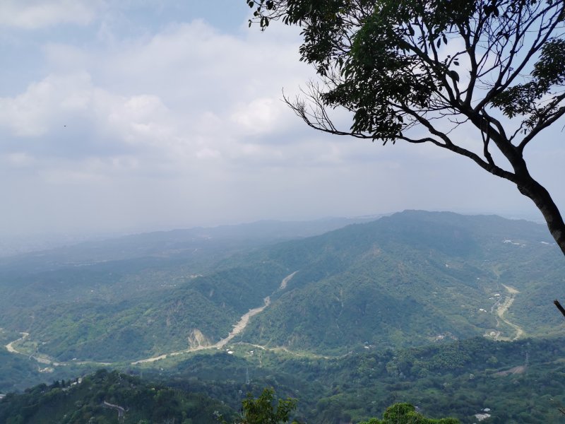
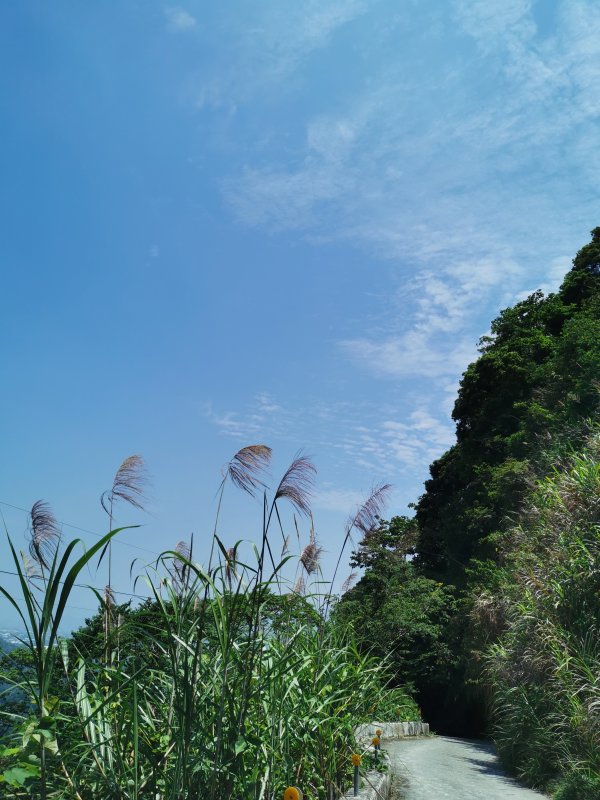
暗影山北稜是大多數人選擇的路線
我們也不例外
從中和國小出發
依雲閒居指標而行
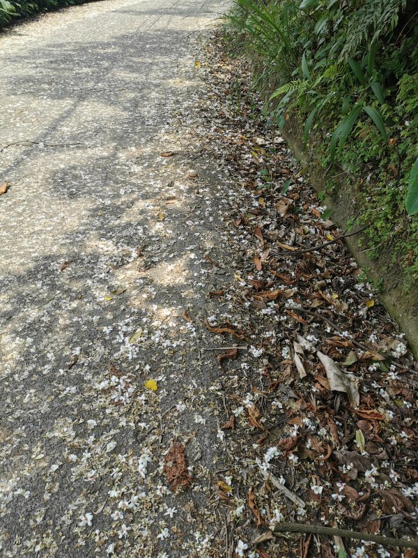
一路都是柏油產業道路
沿途多見檳榔樹與水果園
此處山區隨著季節轉換
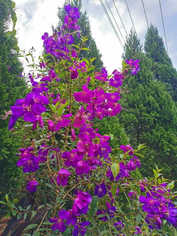
有多種不同的生態風情
如太平區盛產枇杷、荔枝、香蕉
鄰近的新社區則有著名香菇、甜杮等
<英譯>
Most people choice north ridge route of Dark Mt.
We are no exception
We started from Zhonghe elementary school
We hiked by guidepost of Yun Xianju
It's the asphalt industrial road all the way
We saw a lot betel nut trees and orchards
There are many different ecosystems
in this mountain as seasons change
It abounds in loquat、litchi、banana in Taiping
It abounds in mushroom、persimmon in Xinshe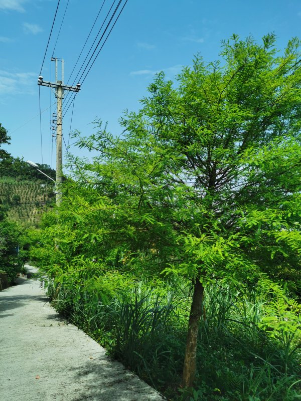
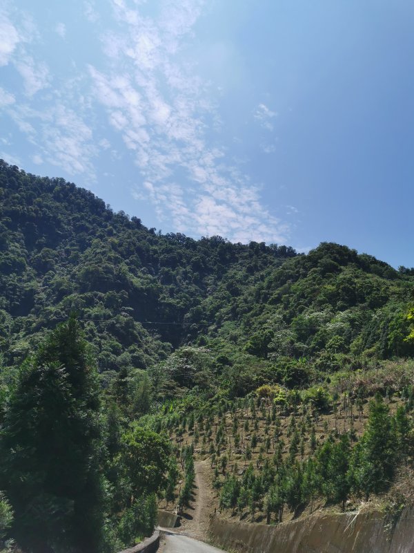
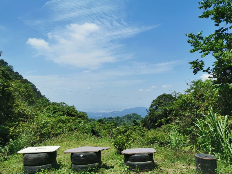
此區為太平區頭汴坑休閒農業區域
有著許多休閒農場景觀庭園咖啡等
說是台中市的貓空或者小九份不為過
加上山巒景致
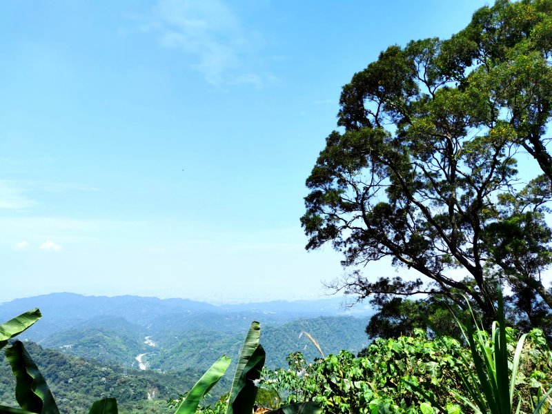
東高望南投九九峰
西遠眺台中海濱
是情侶欣賞夜景
是好友共享夕陽
亦是家人聚餐培養感情的好去處
結束登山行程後
許多人更會到新社買買香菇伴手禮
真是一條功能多樣化的健行路線啊
<英譯>
It's Tou-Bian-Keng Resort Agricultural Park this area
There are many resort agricultural parks
and garden view restaurents
We cannot emphasize too much Maokong or Jiufen of Taichung
Except mountain scene
We can see Jiujiufong in Nantou
and the bay of Taichungc also
It's a good place for couples to see night scene
for friends to share sunset
and have feast to become colse to each other
After finishing hiking mountain
Many people go to Xinshe to buy souvenir of mushroom
It's a multifaceted hiking route
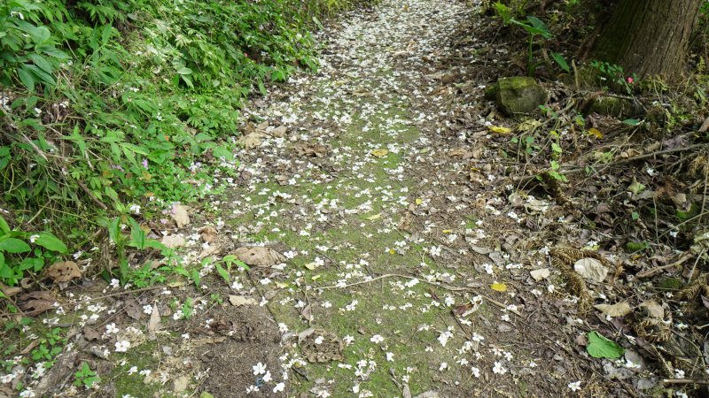
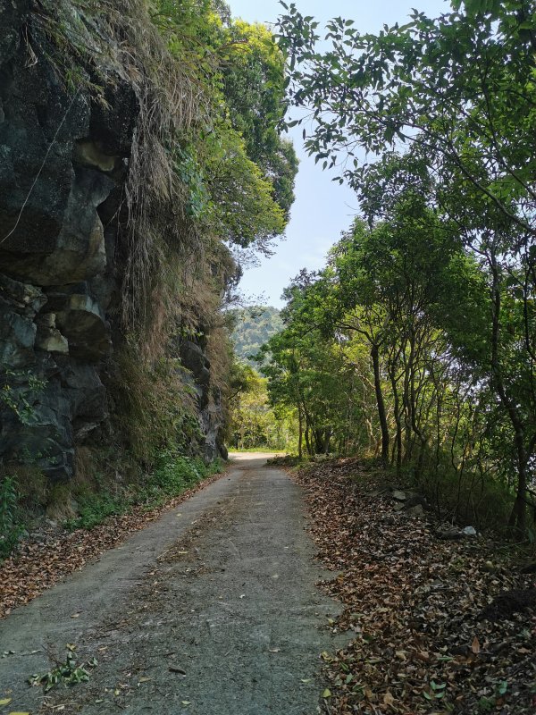
終於抵達攀登路線的登山口
最後登頂這段路雖不長
但有陡坡、碎石
加上雜草亂竹加倒樹
更有幾條水管突出要多加小心
山頂有著無線電發射台以及鐵皮機房
展望非常好
近年大里登山協會
將西北稜與南稜的山徑重新整理
讓喜愛登山的人
可以從更接近台中市區的西北稜出發
只是西北稜甚陡
從南稜走出來則更耗時
但可以滿足腳癢的勇腳好手
也希望讓暗影山這座
台灣1000公尺以下最高峰
得到更多山友們的關愛了
<英譯>
We arrived trailhead of the climbing route
It's not long to the summit
But there are steep and pebbles
moreover grass、bamboo、trees
and several projected water pipes
You must be careful
There is a radio-transmitting station
and sheet metal house
It's scene is beautiful
Dali Mountaineering Association repair
the route of west-north and south ridge trail
People love hiking can start
from west-north route near by Taichung City
The west-north route is very steep
It takes more time to come out from south ridge
but it can satisfiy all strong need
We hope Dark Mt.which the highest mountain
under 1000 meters can
be loved by more mountaineers
 若喜歡影片,請幫我按讚分享及訂閱
您的鼓勵將是我進步的動力,雖然我還不是專業的Youtuber,我持續努力以成為專業Youtuber為目標,也請留言多指導,我會盡力改進,感謝您!
還有更多戶外及登山影片在S行者Youtube頻道
請點選 https://bit.ly/2TCDlNJ
頻道影片分類:
S旅行者 https://bit.ly/2SzdTq9
S健行者-百岳 https://bit.ly/3d0XtAo
S健行者-小百岳 https://bit.ly/2Sh6Imh
S健行者-步道 https://reurl.cc/62KbgZ
S隨談 https://bit.ly/31pWUuA
S隨走 https://bit.ly/3b8W21T
S行者平台:
Facebook臉書 https://bit.ly/384wrVX
部落格https://outdoorshih.pixnet.net/blog
IG https://www.instagram.com/outdoorshih2020/