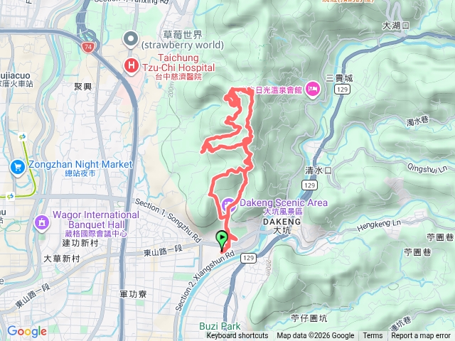
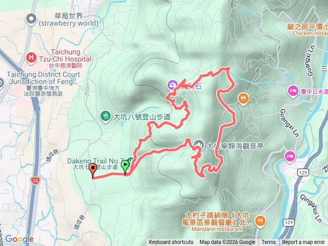
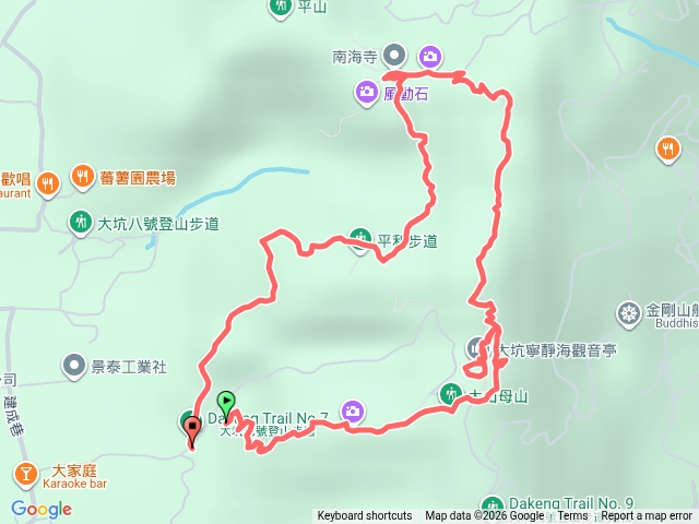
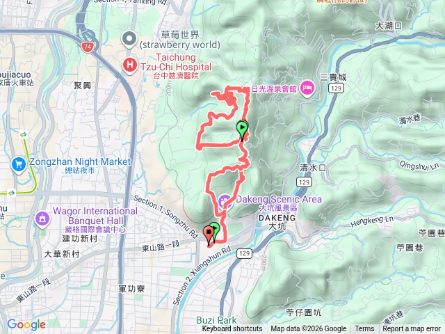
大坑6、7
- Benson Hsu
- 2025-01-29 提供
- 163 次點閱
- 1 次下載
切換地圖
選擇路段
路線繪製中...
- 路線資訊
-
記錄日期2025-01-29
-
里程2.69 公里
-
花費時間37 分鐘
-
高度落差159.75 公尺
-
總爬升高度198.89 公尺
-
總下降高度107.09 公尺
此軌跡沒有任何沿途照片
注意事項:手機GPS僅供輔助使用,登山需依實際狀況判斷處置,以免發生危險。行進間切勿查看手機,需查看手機時,應於安全地點並停下腳步。
- 相關路線
- 大坑6、7號步道