
-
相關路線
歡迎點選我們影片連結,更加精采!!
https://youtu.be/YMUXiQ6lIfA
請點選下方連結訂閱分享 讓我們繼續帶著大家S健行去!!
https://bit.ly/2TCDlNJ
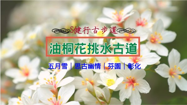
[芬園挑水古道簡介]<Brief Introduction of Fenyuan Tiaoshui Trail>
芬園挑水古道位於彰化芬園鄉大竹村與溪頭村之間,為八卦山脈山麓間羊腸小徑,海拔高度337公尺,終點處有二處泉水
Fenyuan Tiaoshui Trail runs between Dazhu and Xitou villages in Changhua's Fenyuan Township,a tortuous pathway along the foot of the Bagua Mountain Range.The current official elevation is 337 meters.There are two natural springs at the end of the trail.
[路線簡介]<Brief Introduction of Route>
芬園挑水古道往返1.5小時,往返距離2公里,高度落差251公尺
It takes 1.5 hours to go back and forth for 2 kilometer by Fenyuan Tiaoshui hiking trail route. The difference of elevation is 251 meters
[行者行程]<Walker Hiking>
11點00分--員草路一段159號入口
11點20分--賞桐休息區
11點45分--音樂廣場
12點00分--龍鳳湧泉
12點15分--碧山古道
12點45分--天梯
13點00分--員草路一段159號入口
11:00A.M--No.159,Sec.1,Yuancao Rd.,Fenyuan Township starting point
11:20A.M--The tung trees area
11:45A.M--Music Square
12:00P.M--Triangulation No.47
12:15P.M--Bishan Ancient Trail
12:45P.M--Sky Ladder
13:00P.M--No.159,Sec.1,Yuancao Rd.,Fenyuan Township starting point
[更多資訊請點選]<Please click the link below for further information>
https://bit.ly/2TCDlNJ
[開車大眾運輸方式及路線請點選健行筆記]<Please click the link below for the traffic and route>
https://hiking.biji.co/index.php?q=trail&act=detail&id=284
大家好
歡迎來到周更中的S行者
這次帶大家來到芬園挑水古道
芬園挑水古道位於八卦山山脈中段東側
清朝時期先民為解決生活飲水問題
用石頭砌成步道方便取水
據約已有百年歷史
<英譯>
Hello, everyone!
welcome to S-Walker Channel weekly update
Let's show you Tieh-Chen mountain
Tieh-Chen mountain is at Dajia specific scenic area
The mountain landscape is a cliff
It looks like a anvil when seeing from the sea
So it had been called

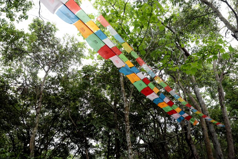
挑水古道位處於山區生態資源非常豐富
包括常見的紅嘴黑鵯.白頭翁.東方蜂鷹
花叢間可看見紫斑蝶.赤腹松鼠穿梭林間
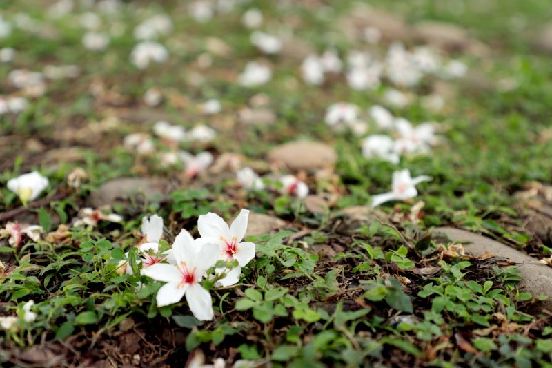
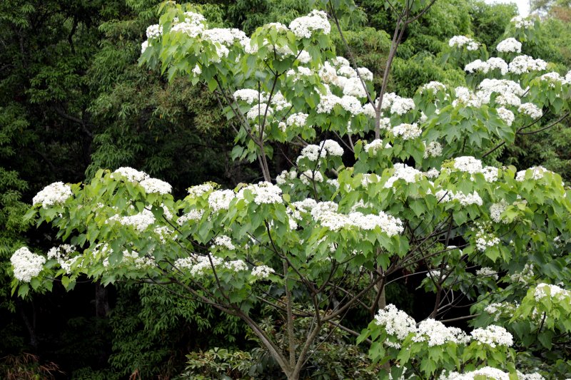
夏日蟬鳴繚繞於耳
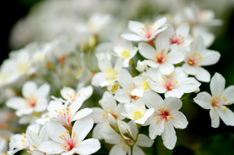
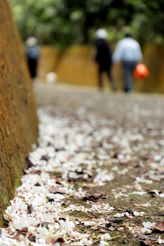
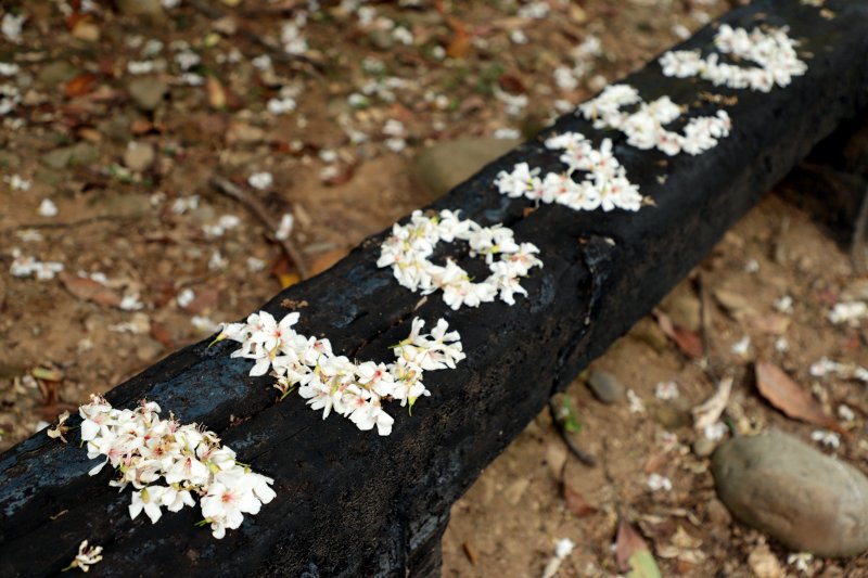
油桐樹桐花盛開
地上都覆上滿滿的雪白桐花
是每年桐花季精選的賞桐秘境啊
<英譯>
The Tiaoshui Historic runs through a mountain area
It's very rich in ecological resources
Chinese bulbul spotted dove flitting among the flowers
you can see such butterflies fairy pitta
The sounds of cicadas fill your ears
The tung trees blossom the trail are covered with
snow-white blooms making this a popular place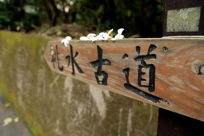
挑水古道位於彰化芬園鄉大竹村與溪頭村之間為八卦山脈山麓間羊腸小徑
清朝時期因道路交通不發達
當地先民為生活飲水問題
發覺此處山澗溝渠終年有泉水源源不絕流出
便在泉水湧出的源頭挖掘二處取水井
供村民飲水之用
並將取水必經的山間小路砌成簡易的步道
全長約2公里
沿途有天梯.涼亭與古井等景觀設施
也有豐富的生態
是賞鳥賞桐的好去處
<英譯>
The Tiaoshui Trail runs between Dazhu and Xitou villages in Changhua's Fenyuan Township,a tortuous pathway along the foot of the Bagua Mountain Range.Roads were not well developed during the Qing Dynasty so the local residents needing drinking water dug two wells at the sources of perennial springs and paved a simple trail on which to carry the water
The trail is about 2 kilometers long and now features a trail pavilions and the ancient wells along with rich ecologies that make it an excellent location for bird-watching and observing tung blossoms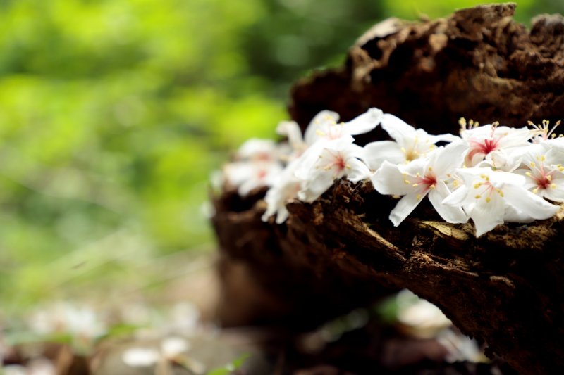
過了廣場之後,一路就是緩上坡了不過這條路徑呢用平板石舖著
左右二邊有二個凹槽
應該也是之前如果上面下雨
水會從二邊凹槽洩下來
整體的環境相當的幽靜
<英譯>
After the square,It's the uphill way
This trail is made by plate stone
There are two grooves besides it
I think if it rained before
The water will proceed by grooves
It's very quiet in this environment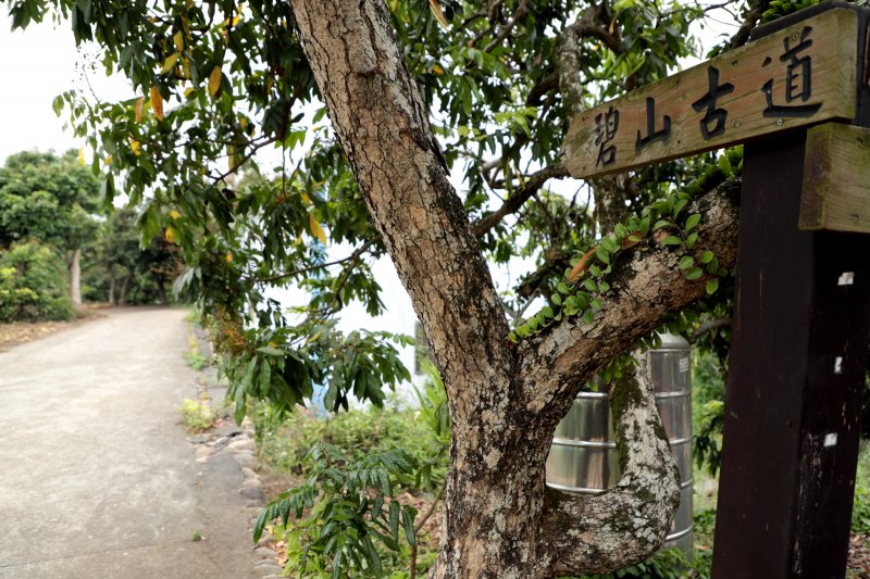
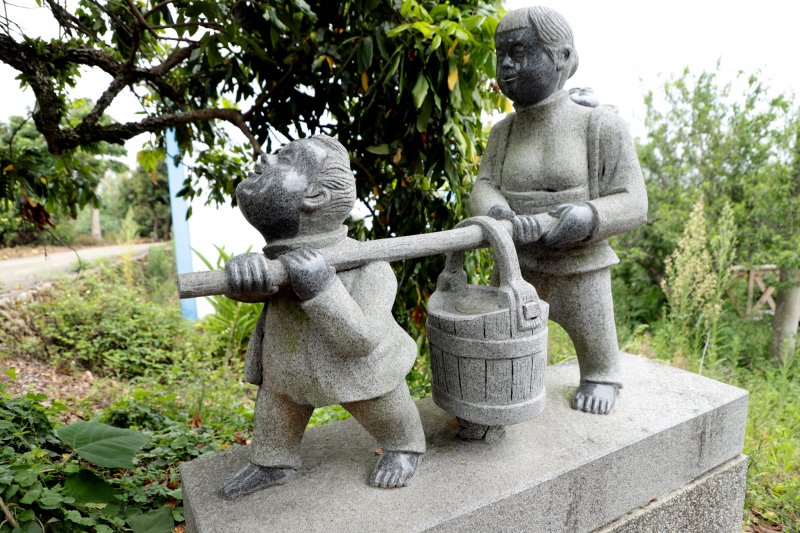
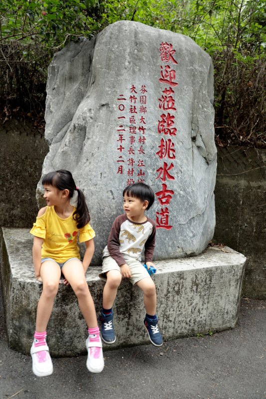
大竹村東寮庄井仔坑挑水古道由來先民於250年前來到東寮庄定居後
因位在八卦山脈上飲水問題一直困擾庄民
直到有一天庄民所飼養之母豬
為何常濕淋淋逛來逛去
庄民就跟蹤這隻母豬
才發現原來在山溝裡有二口井水
井水源源不絕可供應本庄100多戶約800多人飲用
早期基層建設落後
尚未有電力及供水設備
僅能靠人沿著山坡小道挑水引用
才有今日之挑水古道由來
在這古道上
先民留下多少汗水和淚水
值得本庄後代子孫深思
吃水果拜樹頭飲水思源之意
現有井仔坑之建設起因政府為保留古蹟
由參山國家風景區管理處補助修建挑水古道
並依山溝地勢興建一條健行步道可通往
也就是今天我們走的挑水古道
<英譯>
Da-Zhu Village Dong-Liao Tribe Jing-Zai-Keng water-carriage way.The ancients settled in Dong-Liao Tribe 250 years ago Howerver,the inhabitants had long suffered from a lack of water resources.One day,the inhabitants in the village followed some wet pigs wandering around and found two natural springs the water from those springs supported the 800 residents in the village and solved the problem there was little infrastructure back in these days
The ancients had to carry water along a walkway to support their livings,requiring this development
The ancients had encourtered considerable difficulty in exploring the walking way and it will be commemorated by descendants Jing-Zai-Keng the government mended the walkway and paved it along the terrain . It's now connected to Tri-Mountain National scenic area That's water-carriage way which we walk today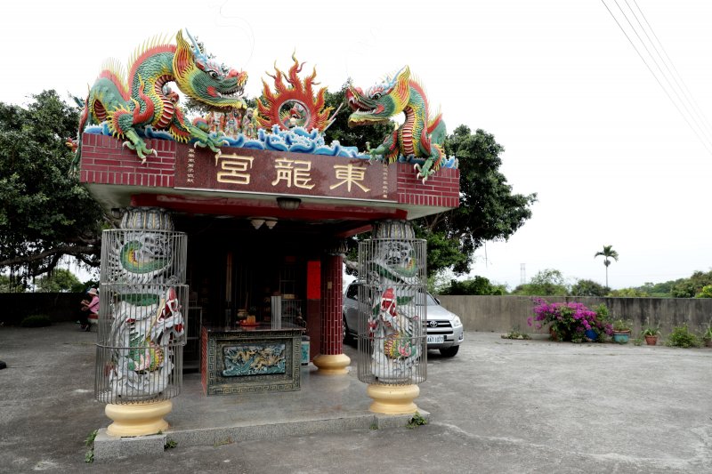

若喜歡影片,請幫我按讚分享及訂閱
您的鼓勵將是我進步的動力,雖然我還不是專業的Youtuber,我持續努力以成為專業Youtuber為目標,也請留言多指導,我會盡力改進,感謝您!
還有更多戶外及登山影片在S行者Youtube頻道
請點選 https://bit.ly/2TCDlNJ
頻道影片分類:
S旅行者 https://bit.ly/2SzdTq9
S健行者-百岳 https://bit.ly/3d0XtAo
S健行者-小百岳 https://bit.ly/2Sh6Imh
S隨談 https://bit.ly/31pWUuA
S隨走 https://bit.ly/3b8W21T
S行者平台:
Facebook臉書 https://bit.ly/384wrVX
部落格 https://outdoorshih.pixnet.net/blog
IG https://www.instagram.com/outdoorshih2020/